
Trace a Lemon Grove Street by Address
Who lives along a Lemon Grove street is not answered by one public list. A current parcel record can identify an assessed owner, while a recorded deed shows a party to a transaction. A permit can place an applicant at a site, and a directory can name an occupant from an earlier year. The address task is to line up those clues, not to turn one name or one map click into a claim about a household.
Use the full address, including number, street suffix, unit, and directional, before narrowing the search. The most reliable sequence moves from the current parcel to adjacent lots, then to title history, city files, and older street guides. If a name search becomes the real goal, a resident lookup needs two independent identity anchors.
- Run the situs address through ParcelQuest Lite or the San Diego County assessor channel. Save the APN, map details, property characteristics, and any owner or mailing information returned.
- Open SanGIS, turn on parcel and jurisdiction layers, and click the target polygon. Record the APN for each touching parcel when the task covers a block or a full street range.
- Use the ARCC Official Record Search for party names, document types, and date limits. Capture the grantor, grantee, recording number, recording date, book or page, and legal description when shown.
- Ask Lemon Grove Community Development for permit or address records using the exact street, a date range, and a project or permit number when one is known.
- Check a reverse or criss-cross directory for earlier occupants and businesses. Compare the address clue with a deed, permit, newspaper, or census source before treating it as an identity match.
Historical volumes are a separate shelf question. The Lemon Grove city directory collections carry the year-by-year method, while the address workflow stays focused on records keyed to a street.
Lemon Grove Address Records at a Glance
No single Lemon Grove street directory combines title, maps, permits, voter data, and historical occupants. Each keeper answers a narrower question. The assessor starts with the parcel, SanGIS supplies geometry, the Recorder follows instruments, city planning dates local work, and library collections supply older address clues. Voter information has a separate statutory gate.
| Address Record | Custodian | Street-Level Use | Access Route |
|---|---|---|---|
| Assessor roll or card | San Diego County ARCC Assessor | APN, situs, assessed owner, values, characteristics, mailing destination | ParcelQuest Lite, phone, kiosk, mail |
| Parcel and boundary map | SanGIS and SANDAG | Parcel shape, adjacent lots, jurisdictions, map layers | Free map and open-data viewer |
| Recorded instruments | ARCC Recorder | Grantor, grantee, transfer date, document number, legal description | Official Record Search, copies, kiosk |
| Voter information | California Secretary of State and San Diego Registrar | Supplied residence, precinct, and status when lawfully available | Personal status tool or restricted application |
| Permits and address files | Lemon Grove Community Development | Applicant, owner or agent, site, project, and dates | Counter, portal, mail, or focused CPRA request |
| Reverse directories | San Diego Public Library and City Archives | Historical occupants, businesses, and house-number order | In-person shelf or selected digital volumes |
The APN is the useful join point between the property map and a deed search, but it is not a legal description and it does not prove residence. A street name ties multiple parcels together, yet a shared name, unit number, or postal-city label can still create a false match. Keep one citation for each record rather than merging separate sources into an invented roster.
ParcelQuest Fields for Lemon Grove Streets
ParcelQuest Lite through SDARCC is useful for a first pass along a Lemon Grove street, but it is not an unlimited resident index. The official guidance sends ownership-by-name or ownership-by-address questions to phone service or public kiosks. The free allowance is 25 searches in a rolling 30-day period, after which a subscription may be required. Plan a block range before spending searches, and save each APN instead of repeating the same address.
The field set below reflects the ParcelQuest property search captured in the research. Required status and field behavior can change in a live interface, so treat the official ARCC page as the access point and the result as property evidence.
| Field Label | Type | Required | Format or Behavior Notes |
|---|---|---|---|
| APN | Text | Alternative | County parcel number; punctuation behavior should be tested. |
| Street Address | Text | Alternative | Situs or property address. |
| City | Text or dropdown | No | Use Lemon Grove, then verify the incorporated boundary in GIS. |
| ZIP | Text | No | 91945 is postal guidance, not proof of city jurisdiction. |
| Search | Button | Not applicable | Consumes a search under the 25-search allowance. |
A parcel result may include APN, situs address, land and building characteristics, assessed value, an assessor map, sale listings, or historical tax information depending on the access channel. ARCC also supplies property ownership and address information by phone through the Assessor at (619) 236-3771. Treat the returned owner as an assessment or title lead, not as proof that a person lives at the situs.
Note: ParcelQuest’s ZIP filter narrows property research; it cannot enumerate a complete ZIP-wide resident list.
Map Adjacent Lemon Grove Parcels with SanGIS
SanGIS and SANDAG open-data maps are strongest for geometry, adjacency, and jurisdiction. Search or zoom to the target address, turn on parcel and boundary layers, click the target polygon, and record its APN. Then click each polygon that touches it. This adjacent-parcel pass can expose a corner lot, a rear parcel, a lot split, or a neighboring jurisdiction that a street-only list could miss. Use the map for spatial work, then verify any owner attribution with ARCC.
Keep the map’s role clear. A parcel polygon is not certified title, and a visual buffer is not a legal neighborhood boundary. If the active viewer offers select, measure, or buffer tools, use them to define a repeatable block range, not to declare who is a neighbor. Record the APN, jurisdiction layer, street label, and map date before moving to the next source.
Address → parcel → adjacent APNs → ARCC verification. That short process keeps a map clue separate from an ownership record and makes a by-address search easier to audit.
Situs and Mailing Addresses in Lemon Grove
Two addresses can sit beside one parcel record. The situs address is the physical location used for assessor, permit, and map work. The mailing address is where assessment notices go. It may point to another property, a business office, a trust mailing point, or a post office box. A match can support a possible owner-occupancy lead, but a mismatch only shows that tax correspondence goes elsewhere. Neither field proves who sleeps at the property.
- Parcel
- A mapped assessor unit identified by an APN and geometry. An APN is not the legal description and may change after a split or merger.
- Situs address
- The physical address used to locate land in assessor, permit, and map searches. Older records may lack a reliable number.
- Plat
- A recorded subdivision or parcel map that relates lots and blocks to a tract and can bridge an older deed to a present map.
- Criss-cross directory
- A reverse directory arranged by street and house number, usually showing historical occupants or businesses rather than a current household list.
Older Lemon Grove deeds may use a legal description, subdivision, lot and block, or rural route instead of a clean modern number. Compare the recorded map and legal description before forcing an old description into a current street line. When the question narrows to one named person, the Lemon Grove resident lookup path is more useful than treating the mailing line as a residence.
Lemon Grove Deed Chains After APN Removal
San Diego County’s online Official Record Search changed on December 9, 2024. After California AB 1785, APN searching was removed from the web interface. The documents were not destroyed: APN searches remain available at five in-person county kiosks. Party-name, first-name, document-type, recording-date, document-number, and book-or-page modes remain the practical online bridge, subject to the live interface.
Build the chain from a current owner name when the web APN box is unavailable. First obtain the assessed owner and legal description by assessor phone or kiosk if ParcelQuest does not expose them. Search the grantee, the person receiving a conveyance, and capture the grantor, the transferor, recording date and number, book or page when shown, and legal description. Search the grantor backward as an earlier grantee, narrowing dates and matching the same lot, block, or legal description.
Use the ARCC Official Record Search for the online index and the Recorder recording guidance for the current APN rule. If the web trail ends, take the last party, date, book, page, or document-number citation to a kiosk or counter. Copies and certified copies come through Recorder channels. The title chain connects ownership events; reverse directories, permits, census schedules through 1950, newspapers, probate, and obituaries fill the household side.
Note: Online APN removal changed the search channel, not the existence of recorded documents in San Diego County.
Lemon Grove Permits by Address
Lemon Grove Community Development adds a local address layer. The planning counter at 3232 Main Street handles questions at (619) 825-3805 from 7:00 a.m. to 6:00 p.m. Monday through Thursday; it is closed Friday, and appointments are recommended. Inspections are by appointment through the same number. Published classes include building, encroachment, alarm, temporary use, signs, boundary adjustment or lot merger, certificate of compliance, parcel map, minor use, conditional use, planned development, and tentative subdivision map.
The city’s Address Request form matters when a parcel lacks a reliable situs address or when an older deed uses lot and block language. Pair the form with the zoning map and a focused request by exact address, date range, department, record type, or permit or project number. The city supplies existing identifiable records but does not have to create a new list or conduct research. A CPRA determination ordinarily comes within ten calendar days; an unusual-circumstances extension may add up to fourteen days.
See the city’s permit information and forms for the building, encroachment, and alarm routes before asking a clerk to identify a file.
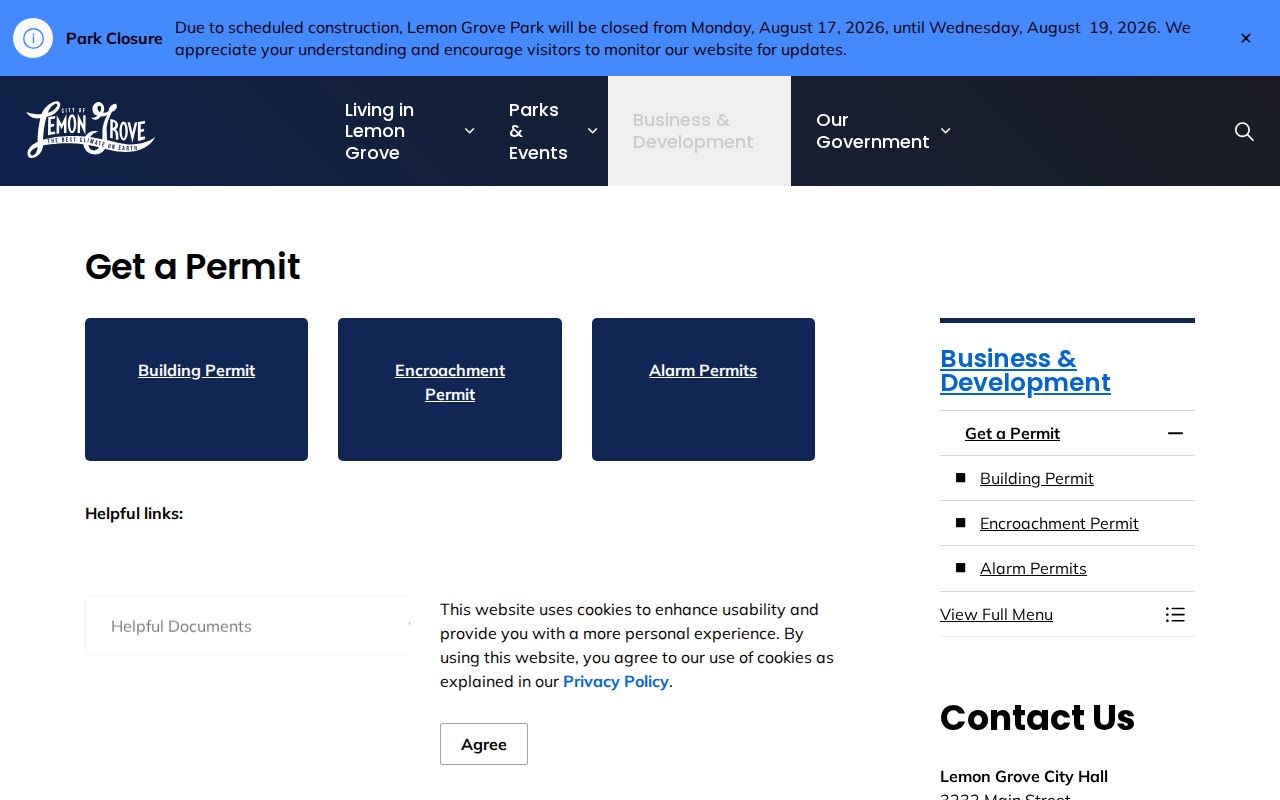
That permit reference belongs beside an address timeline. A project file can date a change and identify an applicant, owner, or agent without proving who occupied the property.
For a paper trail, use the Lemon Grove public-records request route online, by mail, or in person. Include the address, date range, department, record type, permit or project number, agenda date, and keywords. Existing electronic records generally carry no charge when feasible; paper, media, and special-service costs follow the city fee schedule. Exempt material may be redacted, while reasonably segregable non-exempt portions should remain available.
Lemon Grove Reverse Directories, 1955 to 1960
For past occupants, the most useful street tool is not a modern property index. The City of San Diego Digital Archives has separate San Diego suburban city-directory volumes for 1955, 1956, 1957, 1958, 1959, and 1960. Those years fit Lemon Grove’s unincorporated suburban era before the city incorporated in 1977. A reverse or criss-cross section sorts street name and house number, then supplies occupant or business clues. It can reveal who used an address at a given time, but it does not settle ownership.
Search the alphabetic section first when a surname is known, then test the exact street and number in the reverse section. Preserve directional letters, old suffixes, rural-route wording, and the volume’s abbreviation key. A first appearance brackets a possible arrival; a disappearance may reflect a move, death, or a missed volume. Pair a 1950 or earlier directory with the released federal census, and use deeds for owners. The 1960 census is scheduled for public release in 2032, so do not treat it as an available resident source now.
San Diego Public Library holds city directories from 1886 through 2021 in Central Library Special Collections, while Lemon Grove Historical Society texts from the 1940s through the 1990s are digitized through California Revealed. These regional collections help bridge missing suburban years, but exact Lemon Grove reverse-directory holdings require direct library or society inquiry. The historical method is strongest when each occupant clue is paired with a deed, permit, newspaper, or census source.
Lemon Grove Street Addresses and ZIP 91945
ZIP 91945 is the principal and only verified standard ZIP associated with Lemon Grove city, but a postal label is not a boundary survey. USPS delivery routes can include addresses in or near the community. Enter a complete address in the USPS ZIP Code Lookup and compare the result with SanGIS incorporated-city and jurisdiction layers. The city’s zoning map and Address Request form provide a second local check. Do not infer city taxes, school district, police agency, voting district, or permit custodian from 91945 alone.
Street work goes wrong when Lemon Grove is treated as a postal synonym. Older records may say San Diego County, Lemon Grove, a rural route, or a subdivision name. SanGIS helps resolve the present line; a recorded map and legal description bridge older wording. A ZIP filter can narrow a property search, but it cannot create a ZIP-wide resident list.
USPS explains the address-to-ZIP and city-by-ZIP controls on its official lookup page.
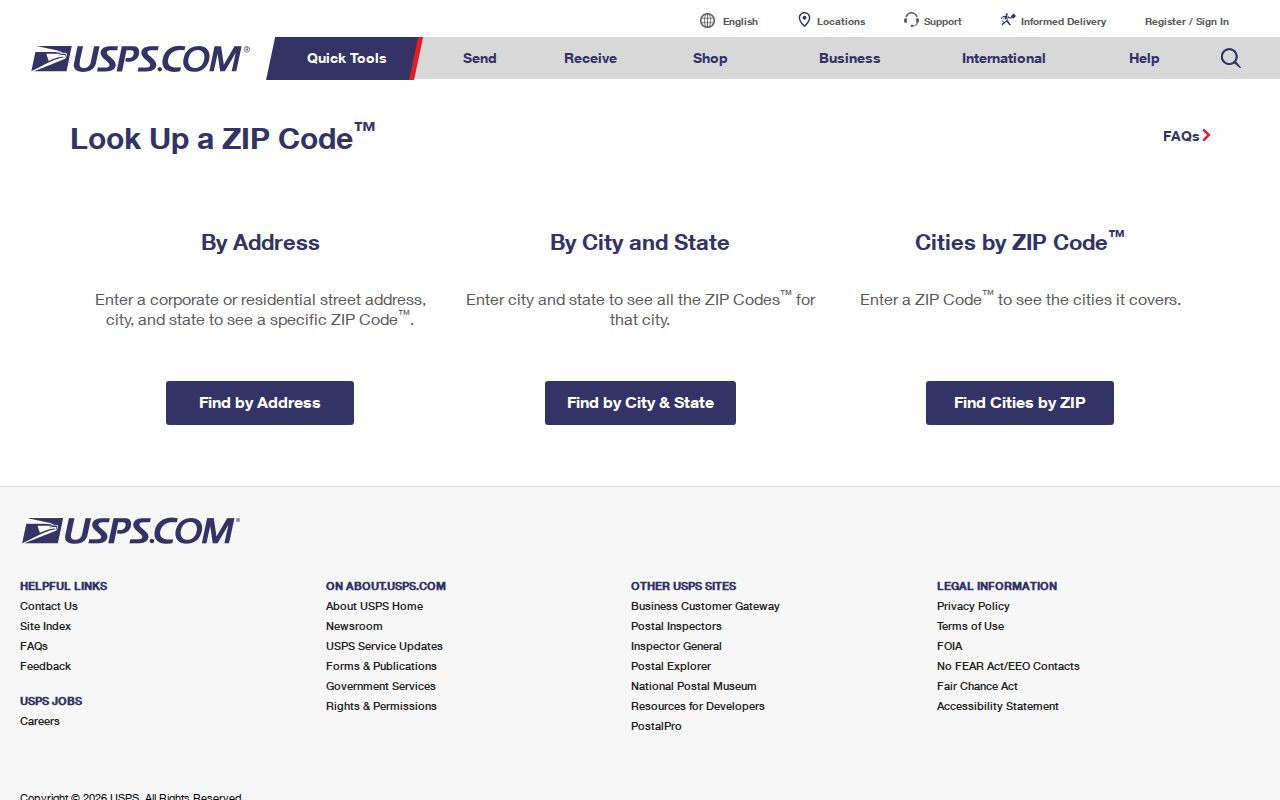
The lookup confirms delivery geography, while SanGIS and the assessor decide which local record path deserves the next request.
After the postal check, review Lemon Grove’s current planning information for the zoning map and Address Request route.
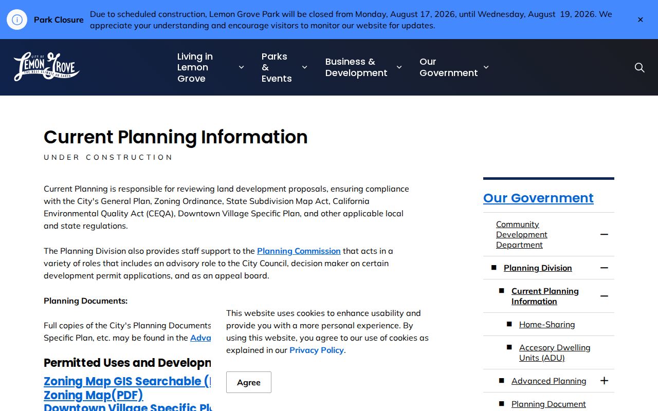
That planning reference adds local jurisdiction context to a postal result and helps keep an address request from reaching the wrong city desk.
The 1977 Lemon Grove Records Divide
Lemon Grove became an incorporated city on July 1, 1977. Before that date, an address trail is mostly county and regional. San Diego County deeds, courts, vital records, voter history, directories, newspapers, and maps predate the city government by decades. A search confined to City of Lemon Grove files can miss the earlier record even when the community name appears in a directory.
Use the city clerk’s routing information for jurisdiction. City Hall is the path for council, contracts, correspondence, municipal permits, code, and planning material. ARCC handles recorded documents, parcel ownership, births, deaths, marriages, and fictitious business names; Superior Court handles court files; the Registrar handles voter data; and the Sheriff handles Sheriff-policed incident and arrest material. College Grove’s annexation into San Diego is a reminder that community labels and present municipal boundaries can diverge.
Bridge the divide with subdivision maps, legal descriptions, directories, newspapers, and assessor geometry. A historical directory entry under a suburban heading may still be the right Lemon Grove evidence; preserve its original label instead of silently rewriting it as a modern city record.
Lemon Grove Voters Beyond Address Records
California’s modern voter tools do not supply a casual street roster. My Voter Status is a personal identity check using first name, last name, date of birth, and conditional identity or address fields. It returns the user’s status or polling information. It is not an open name search. Under Elections Code §2194, voter-file access is limited to election, scholarly, journalistic, political, or governmental purposes.
For an approved purpose, the county application may seek name, date of birth, registration date, residential and mailing address, precinct, contact information, and party preference, with optional election and voting-method history. It excludes driver’s-license or state-ID numbers, SSN fragments, unique identifiers, and signatures. The county form requires applicant details, purpose, a security and use agreement, and a signature; the inspected full county file was listed at $75, with other products and specific-record research priced separately. A personal street curiosity is not a qualifying shortcut.
For historical work, the San Diego Public Library holds the Great Register of San Diego from 1888 to 1892, a different source from restricted modern voter data. Treat any registration address as the address supplied by a voter, not a live occupancy guarantee. Safe at Home and other confidentiality rules can leave intentional gaps.
Limits of the Lemon Grove Street Directory
An address-keyed directory can establish a parcel, an assessed owner, a recorded party, a permit applicant, or a historical occupant. It cannot produce a complete list of current household members. People who occupy a property without appearing in a title record may not appear in assessor, deed, permit, or directory sources. Utility accounts are not a public substitute, and DMV address data is restricted. Even a voter record, when lawfully obtained, reflects a supplied registration address rather than real-time presence.
Privacy and lawful use. Lemon Grove address and parcel records support personal, lawful research. Using an address to stalk, harass, intimidate, follow, or repeatedly contact anyone can create criminal or civil exposure under California law, including the limits reflected in Penal Code §646.9, Code of Civil Procedure §527.6, and Elections Code §18109.
Safe at Home permits qualifying participants to use a substitute mailing address and confidential voter process under Government Code §§6205 through 6211; §6209.5 addresses substitute addresses in certain real-property documents. California privacy rights can include knowing, deleting, correcting, limiting sensitive-data use, and opting out of sale or sharing where applicable. The 2026 DROP mechanism directs registered data brokers through one deletion request, but it does not erase every official record. Ask the custodian about redaction or correction routes rather than assembling a public household list from fragments.
A careful directory ends when a custodian’s authority ends. Verify title with ARCC, maps with SanGIS, permits with Lemon Grove, and historical occupancy with the library or society. The result is a documented address trail, not a public roster.